First detailed map of geological zoning of Eastern Trans-Kama region of Tatarstan compiled by Associate Professor Airat Latypov
The region includes 14 of 43 municipal districts of Tatarstan, including the second biggest city of the province, Naberezhnye Chelny, and other important centers, primarily of the oil industry.
“Eastern Trans-Kama is noted by active tectonics, complex landscapes, and intense denudative destruction. Alluvial sediments are omnipresent. That’s why the territory is known for karst and suffusion processes,” explains Dr Latypov.
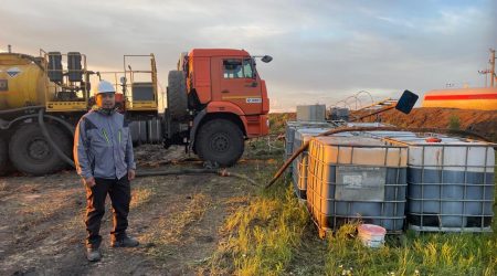
Despite complex soil conditions, the area is currently noted for intense construction works, deposit development, and industrial projects.
The associate professor has spent over a decade researching the region. He defended his DSc thesis in January 2025 at the Institute of Geo-Ecology of the Russian Academy of Sciences in Moscow.
“My dissertation sums up theoretical and empirical material of this region, covering 23,000 square kilometers. It contains a systematic description of weathering crusts of carbonate and terrigenous rocks and methods for their recognition. Resulting from this are a number of maps, figures, tables of physic-chemical properties of soils,” adds the new doctor of sciences.
His monograph Eluvium soils of the Eastern Trans-Kama of the Republic of Tatarstan is a reference book for geologists with zoning maps, eluvium estimations for terrigenous and carbonate rocks, maps of suffusion risks, and other important materials.
The associate professor is often called up as a consultant by companies engaged in construction in this region. “It’s difficult to evaluate karst and suffusion risks here. The rocks cannot be studies with standard calculation techniques,” he elaborates.
Upper layers in this part of the province mostly contain quaternary sediments, including clays, sands, and loams.
“In the Eastern Trans-Kama, weathering products, or eluvium, are present on the surface. It’s a specific type of soil, noted for its heterogeneity. The rocks can resemble sand, but are in fact sandstone, or can resemble loams, but under close inspection turn out to be marl. Under pressure such rocks don’t behave like disperse ones, and incorrect classification can lead to critical errors in construction works,” concludes the scientist.