New estimations of karst collapses near Kazan made during summer field practice
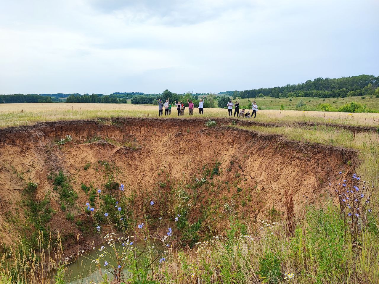
Engineering geology and hydrogeology students visited Sobakinskie Yamy, a chain of lakes in Zelenodolsk Municipal District.
The students were supervised by Associate Professor Airat Latypov and Senior Lecturer Anastasia Garaeva.
Dr Latypov comments, “Thanks to the studies conducted during the practice period, it was possible to understand more deeply the mechanism of karst sinkhole formation in this part of Tatarstan. If earlier studies assumed that voids under the ground are formed at depths of 10-12 m, then drilling of wells in the immediate vicinity of the fresh failure showed that karst rocks occur at depths of 30 m and more. This changes the approach to karst hazard assessment of the territory and, obviously, requires serious research in the future.”
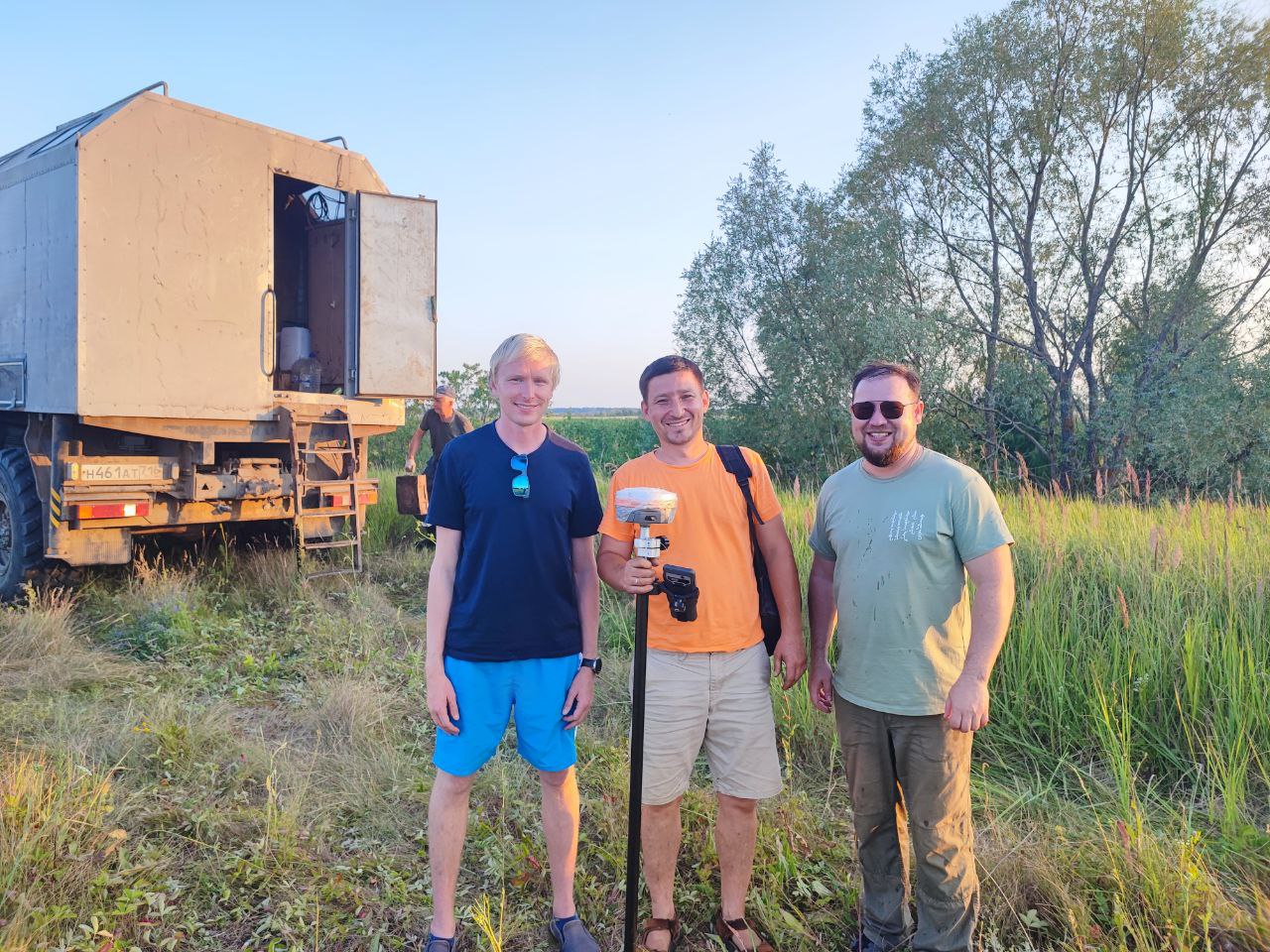
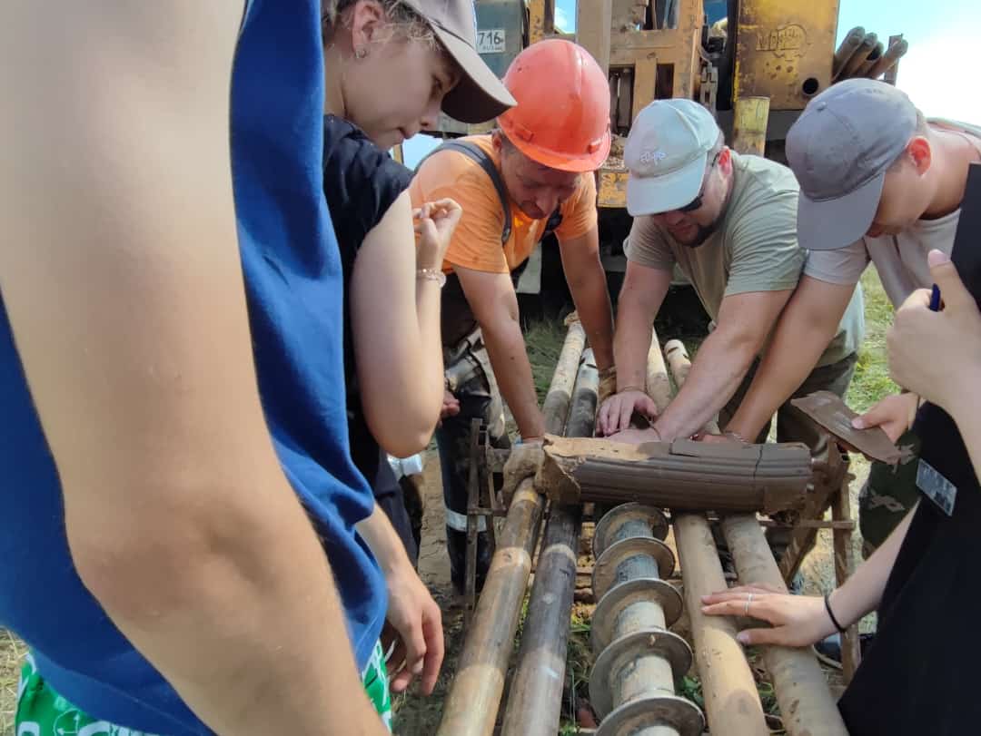
According to the interviewee, KFU students were involved in the process of static soil probing with a self-propelled USZ-20 rig and geotechnical drilling of boreholes with a URB 2A-2 drilling rig. The students familiarized themselves with various drilling and coring methods, studied the soil massif by static sounding method to a depth of 27 m, worked the shift of a field engineer-geologist and even tried themselves as assistant drillers.
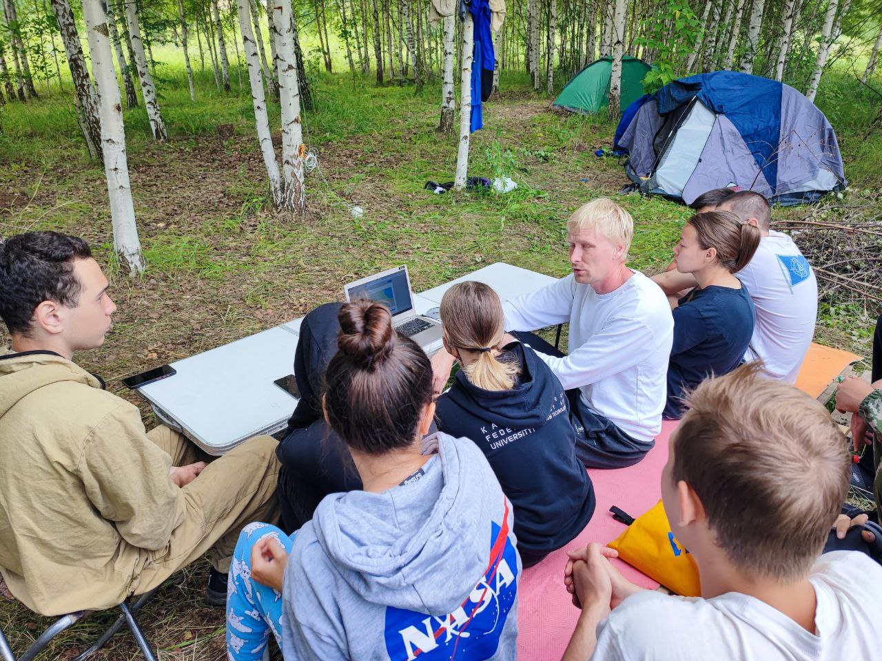
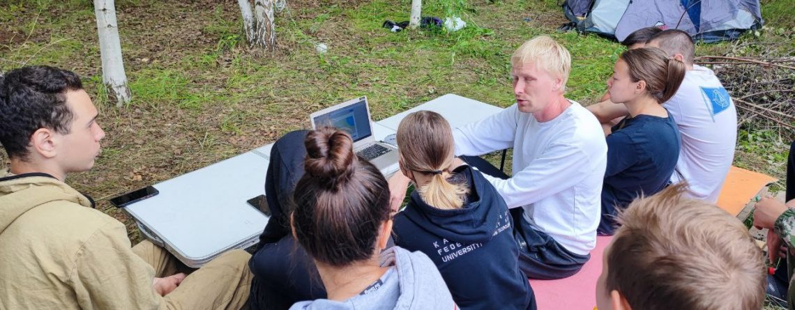
At the invitation of the Department of General Geology and Hydrogeology, the field practice was visited by Nikolay Nikiforov, a graduate of the Department of Engineering and Environmental Geology of Moscow State University, author and teacher of the “Planet Earth: Data Analysis 2.0” course. Each student had the opportunity to install Soilbox, an innovative mobile application for engineering geology. It allows for a complete description of boreholes, layers and soil samples in a convenient interface with the use of built-in prompts. Artificial intelligence technologies help not to think about spelling and processing of field photos.
Latypov continued that the engineering-geological survey of the territory consisted of mapping of karst-suffosion manifestations and also did not do without the participation of digital technologies. Nikiforov introduced the students to the methods of remote sensing of the Earth. The students were able to see how modern technologies can facilitate the work of a geotechnical engineer when conducting route survey of the territory and trace the dynamics of development of dangerous geological processes.