‘Geospatial cooperation: prospects for Russia and the Islamic world’ session held at KazanForum
The central theme of this year’s business program was digitalization and its impact on the development of international cooperation. The speakers and participants of a number of events were representatives of Kazan Federal University.
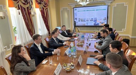
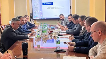
On May 16, the panel session ‘Geospatial Cooperation: Prospects for Russia and the Islamic World’ was held. It was moderated by Timirkhan Alishev, Vice-Rector for International Affairs of Kazan Federal University. The discussion was organized by the Federal Service for State Registration, Cadastre and Cartography (Rosreestr).
Presentations were made by Deputy Head of Rosreestr Tatyana Gromova, First Deputy Prime Minister of the Republic of Tatarstan Rustam Nigmatullin, Director General of the National Cartographic Center of the Islamic Republic of Iran Seyed Eskandar Seydayi, Assistant Director of the Center for Geo-information Systems at the Ministry of Municipal Development of Qatar Amer Al-Humaidi, Rector of the Moscow State University of Geodesy and Cartography Nadezhda Kamynina, and others.
The participants of the session discussed the interaction between Russia and the countries of the Islamic world in geodesy and cartography, namely the current state of the national spatial data system in the Russian Federation, possible areas for further improvement, the impact of geospatial support on the strategic objectives of the countries. The event presented foreign experience in the development of spatial data infrastructure, experts shared successful practices in the implementation of geoinformation systems and proposed new ways of cooperation.
Starting the discussion, Dr Alishev noted that Russia has created a unified digital platform, National Spatial Data System (NSDS), which has become a tool for management decision-making, infrastructure development and implementation of state programs. Dr Gromova spoke about how this platform is formed and its capabilities.
In our country, Rosreestr supervises the development of NSDS. The agency’s tasks include regulatory activities in land and property relations, state registration and registration of rights, control and supervisory activities in geodesy and cartography, organization of spatial data infrastructure.