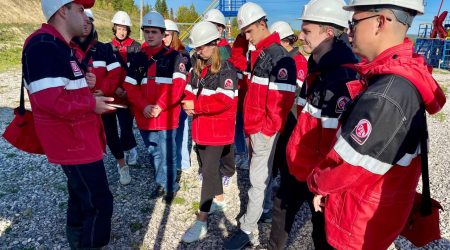
Geology students of Jizzakh Branch compile detailed map of Tian Shan foothills near the city

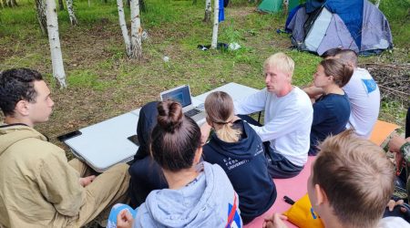
They completed the job as part of a summer internship.
“The practical training of the branch’s geology students took place in the mountains that come right up to the city. It is here that the picturesque gorge called Tamerlane’s Gate is located. According to legend, Tamerlane pierced the mountains with his sword during his campaign against Samarkand,” comments Vladimir Silantyev, Acting Director of the Institute of Geology and Petroleum Technologies and Chair of the Department of Paleontology and Stratigraphy.
According to him, most of Uzbekistan’s geological maps were compiled back in the Soviet Union, in the 1960s–80s.
“The peculiarity of the map that we made together with the students is that it is based on the concept of tectonics of lithospheric plates,” continues Dr Silantyev. “The students collected all the necessary data themselves during independent study routes.”
The students had to establish the composition of rocks, the elements of their occurrence, the degree of metamorphism, age, the nature of the boundaries (stratigraphic/tectonic) between the formations.
“During the practice, we used special geological applications for smartphones, Mountain Compass and Altimeter, as well as space images of the area. Before the route, we put points on the space images in places where there are outcrops, and determined the optimal route. While completing the route, the students moved from point to point and mapped 20-30 outcrops of rocks and outcrops,” adds the Acting Director.
He explained what difficulties the students had to face during the practice.
“The geological structure of these rocks is complex, the contacts between individual plates of the earth’s crust are mainly tectonic, the rocks are heavily altered and broken by cracks,” the scientist specifies.
After completing the field stage, all the data were combined and placed in the cloud.
“Each observation point contains descriptions, a set of photographs of different scales, and information about the selected samples,” concludes the interviewee. “Based on the results of the practice session, the students draw up final field diaries and a final report.”
Summarizing what was said, he emphasizes that this year the scale of mapping was enlarged, and the map turned out to be much more detailed than the one that the students had compiled last year.