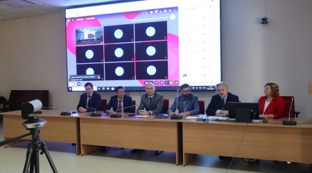
Kamchatka moved two meters to the southeast after the latest earthquake, says VIce-Rector for Earth Sciences
About 300 million years ago, all the continents were united into the supercontinent Pangea, which over time split into Laurasia and Gondwana, and they in turn – into smaller ones.
South America, Africa, Antarctica, and Australia separated from Gondwana.
“220 million years ago, South America broke away from Africa. This is evidenced by the similarity of the outlines of the coastlines. Then the Atlantic Ocean was formed. There are no sediments in the ocean older than 220 million years, because it simply did not exist before,” explains Danis Nurgaliev.
He noted that throughout the history of the Earth, land areas collided and diverged many times, as a result of which the outlines of the continents changed.
“At first there were many small continents, then they merged, and then they moved apart again. One such phase of assembling and disassembling occurs in about 200 million years. Now the Atlantic, for example, is widening, and in the Pacific Ocean, on the contrary, parts of the land are closing together,” says the paleogeologist.
The breakup of a continent begins with a crack formed as a result of processes occurring deep in the Earth, “The Earth’s mantle works like a heat engine, that is, energy and heat are released at the boundary of the core and the mantle. This heat, together with the mantle substance, rises and pushes the earth’s crust apart. Cracks appear in it. Such deep processes have always occurred on our planet.”
One of the giant cracks, more than 60 kilometers long, runs from the northeast to the south of Africa. It is formed at the junction of three moving lithospheric plates – the African, Somali, and Arabian. The crack appeared after the powerful eruption of the Dabbahu volcano in 2005, when the earth split 6 meters in a few days. Since then, it has been growing at a rate of 2-3 centimeters per year.
“In 3-5 million years, part of the African continent will separate. At the site of the fault, either a system of large lakes, or a bay, or a sea will form,” the vice-rector notes.
He added that Lake Baikal, which is 20 million years old and reaches a depth of 1.5 km, was formed due to a similar crack, as was Khovsgol, the largest freshwater lake in Mongolia.
“The moving Arabian plate presses on the East European platform, on which Kazan is located, due to which the capital of Tatarstan moves at a speed of more than 3 centimeters per year to the northeast. In 100 years, we will move 3 meters, and in millions – hundreds of kilometers. This is how geological processes occur,” summarizes Dr Nurgaliev.
He also reported that paleomagnetism is a tool for studying the movements of continents. Paleomagnetic data allows us to reconstruct the position of a particular continent in the geological past, as well as determine where the geomagnetic poles were and what their trajectory was.
The whole point is that magnetic minerals in rocks record the direction and intensity of the Earth’s magnetic field during their formation. Thanks to this, scientists know what the geomagnetic field was like in the past, how it changed and how the tectonic plates were located.